1,200+ Cameras statewide |
1,200+ Fires detected in year one |
21 CAL FIRE dispatch centers |
30% Faster than 911 |
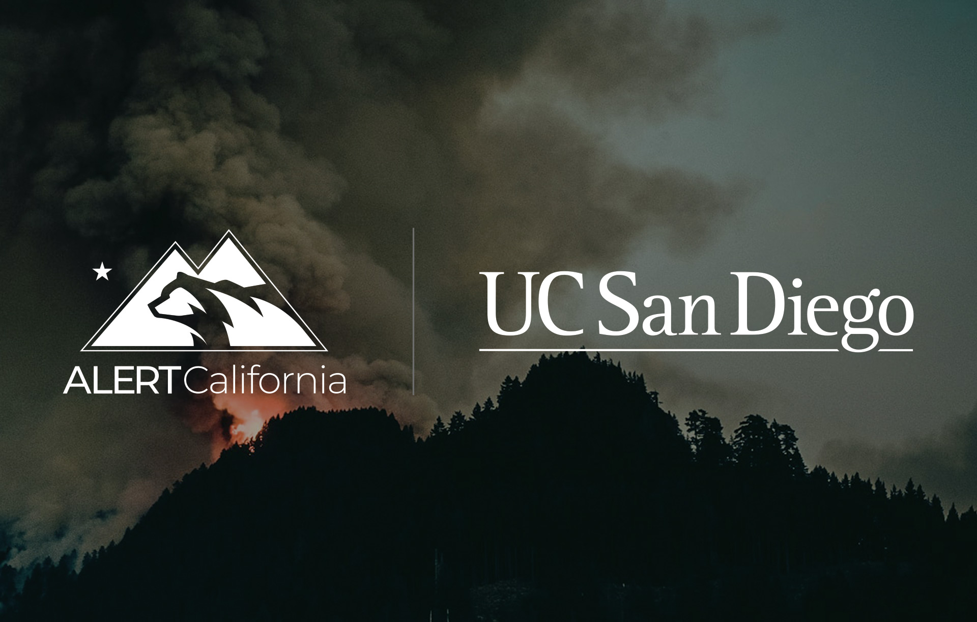
ALERTCalifornia — the state-scale wildfire detection and hazard monitoring program based at UC San Diego — has been selected as one of the university's high-impact projects, featured alongside work in cancer detection, air quality monitoring, and wearable health tools as examples of research that delivers real-world outcomes.
Professor Falko Kuester, co-principal investigator for ALERTCalifornia and the Calit2 Professor for Visualization and Virtual Reality at UC San Diego's Jacobs School of Engineering, has been central to the program's technical development. His work spans the infrastructure, data management, and AI visualization systems that make ALERTCalifornia one of the most sophisticated public safety sensor networks in the United States.
"The greatest success story of ALERTCalifornia are the fires that you've never heard about."— Professor Falko Kuester, Co-PI, ALERTCalifornia
What ALERTCalifornia Does
ALERTCalifornia is a statewide public safety program managing a network of more than 1,200 high-definition, pan-tilt-zoom cameras deployed across California, providing 24-hour monitoring with near-infrared night vision. The cameras can perform 360-degree sweeps approximately every two minutes, and on clear days can see as far as 60 miles — and 120 miles at night.
The program is the third generation of UC San Diego's High Performance Wireless Research and Education Network (HPWREN), originally established with NSF support in 2000. Where HPWREN laid the backbone, ALERTCalifornia built the state-specific intelligence layer on top of it — integrating not just cameras, but seismic sensors, hydrological monitors, meteorological arrays, and LiDAR aerial data covering California's highest fire-risk zones.
The scale of incoming data is enormous. The system currently acquires roughly one gigapixel's worth of image data from the camera network every second — translating to one billion data points per second. Managing, processing, and making that data actionable in real time is precisely where Professor Kuester's expertise in visualization and large-scale data infrastructure becomes central to the program's mission.
AI at the Front Line
In 2023, ALERTCalifornia — in partnership with CAL FIRE and Chico-based software company DigitalPath — launched an AI fire detection system that transformed how California monitors for wildfire. The AI provides early wildfire confirmation and actionable real-time data to quickly scale fire resources, support evacuations through enhanced situational awareness, and monitor fire behavior.
The system works by processing feeds from across the camera network and surfacing anomalies for human review. As Professor Kuester has described it: "AI does the first heavy lift — taking a thousand feeds and condensing it down to a couple that are tracking information of interest. Then the subject matter expert goes in and labels it, and from that, they can then decide how to marshal resources."
In its first season, the AI platform was active across all 21 CAL FIRE Dispatch Centers and detected more than 1,200 fires — beating 911 call reporting more than 30% of the time. The system is tuned to be cautious: "We'd rather not miss anything which can develop into an extreme event," Kuester has noted, while acknowledging the need to balance sensitivity against false alarms.
Recognition and Awards
2023 - TIME Best Inventions of 2023 — ALERTCalifornia, CAL FIRE, and DigitalPath AI fire detection tool
2024 - CENIC Innovations in Networking Award for Public Safety
About Professor Falko Kuester
Dr. Falko Kuester is co-PI for ALERTCalifornia and the Calit2 Professor for Visualization and Virtual Reality at UC San Diego, holding appointments as Professor in the Departments of Structural Engineering and Computer Science and Engineering at the Jacobs School of Engineering. He serves as director of the Cultural Heritage Engineering Initiative, the Center of Interdisciplinary Science for Art, Architecture and Archaeology, the Calit2 Center of Graphics, Visualization and Virtual Reality (GRAVITY), and the UC San Diego DroneLab.
Professor Kuester works on methodologies and techniques for rapid infrastructure diagnostics and assessment, including diagnostic and analytical imaging and big-data visualization, providing engineers, scientists, first responders, and stakeholders with a means to create and explore large-scale digital twins of engineered systems intuitively and interactively. In the context of ALERTCalifornia, this expertise underpins the cyberinfrastructure that makes real-time statewide situational awareness possible.
Looking ahead, Professor Kuester sees ALERTCalifornia's potential extending well beyond wildfires — toward floods, hurricanes, and other climate-driven hazards where early detection is the critical intervention. The program's open-source data architecture is designed with exactly that future in mind, available to the public, partner agencies, and researchers through live camera interfaces, ESRI ArcGIS map layers, and operational tools for registered incident commanders and first responders.
Explore ALERTCalifornia
alertcalifornia.org — Program homepage
cameras.alertcalifornia.org — Public live camera interface
YouTube — Select fire videos and program overview
PBS NOVA — "How AI is Fighting Wildfires"